The Story
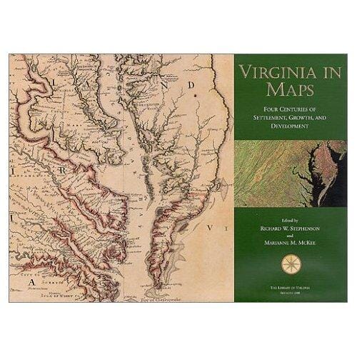
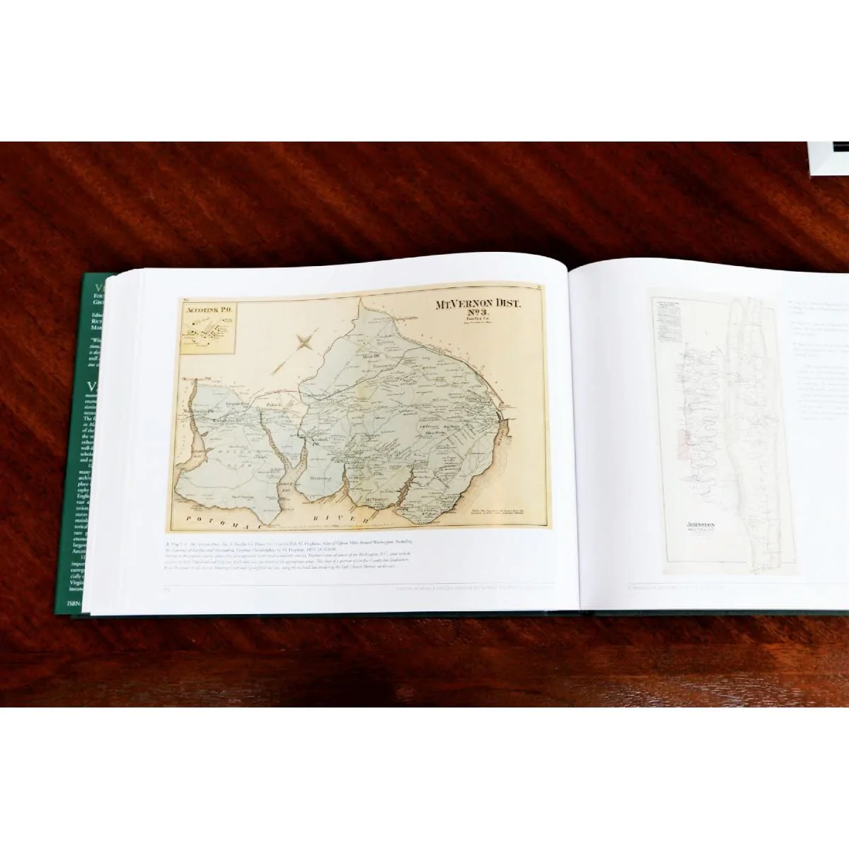
Edited by Richard W. Stephenson and Marianne M. McKee. ISBN 978-0-88490-191-2. Copyright 2000. Hardcover with 337 pages. Large size: 15" x 11". Includes index and color reproductions of 187 maps.
Virginia in Maps traces the discovery, settlement, expansion, and growth of the commonwealth from the Native American world first encountered by European explorers and expansionists to the urban, modern state closely connected to national and international economics. This comprehensive atlas includes full-color reproductions of some of the most important maps of the colony and the state, presented in multiple plates to enhance readability. Augmented by five lively and well-illustrated essays written by leading cartographic scholars.
Printed in Italy on acid-free paper.

Details & Craftsmanship
Every detail has been carefully considered to bring you the perfect product.
Details & Craftsmanship
Every detail has been carefully considered to bring you the perfect product.
Description
Edited by Richard W. Stephenson and Marianne M. McKee. ISBN 978-0-88490-191-2. Copyright 2000. Hardcover with 337 pages. Large size: 15" x 11". Includes index and color reproductions of 187 maps.
Virginia in Maps traces the discovery, settlement, expansion, and growth of the commonwealth from the Native American world first encountered by European explorers and expansionists to the urban, modern state closely connected to national and international economics. This comprehensive atlas includes full-color reproductions of some of the most important maps of the colony and the state, presented in multiple plates to enhance readability. Augmented by five lively and well-illustrated essays written by leading cartographic scholars.
Printed in Italy on acid-free paper.